Field of Work
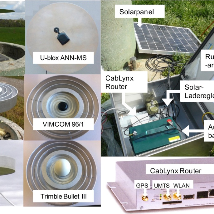
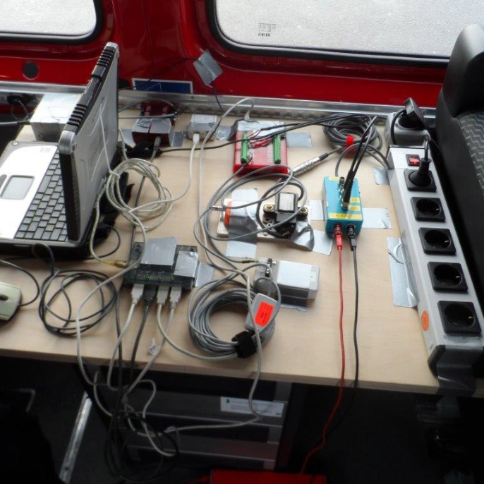
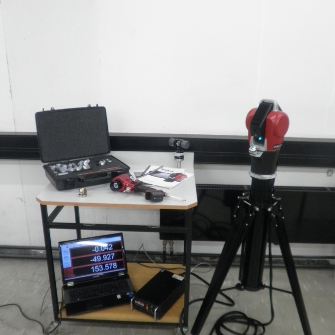
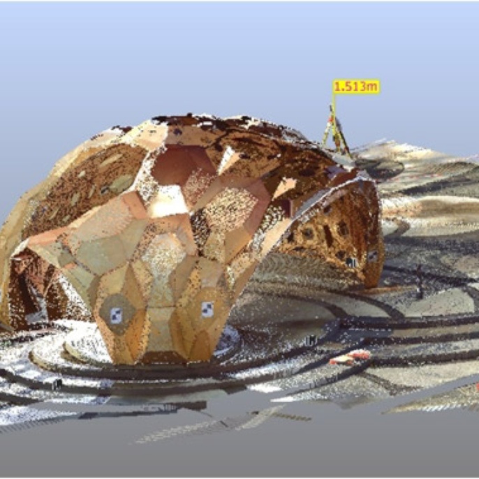
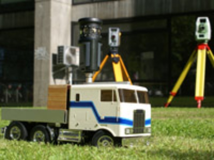
The Institute of Engineering Geodesy (IIGS) is involved in the recording, surveying and in particular the monitoring of buildings and natural objects. The entire diverse range of geodetic instruments are used for this purpose (tachymeters, laser scanners, GNSS receivers, levels and geotechnical instrumentation). The institute's activities have since been extended to include industrial applications using laser trackers.
Another key focus area is positioning by means of sensor fusion, which is being advanced not only for stationary monitoring but also for kinematic objects such as vehicles and ships. The institute’s research areas also include the control and regulation of moving objects, in particular for construction machinery.
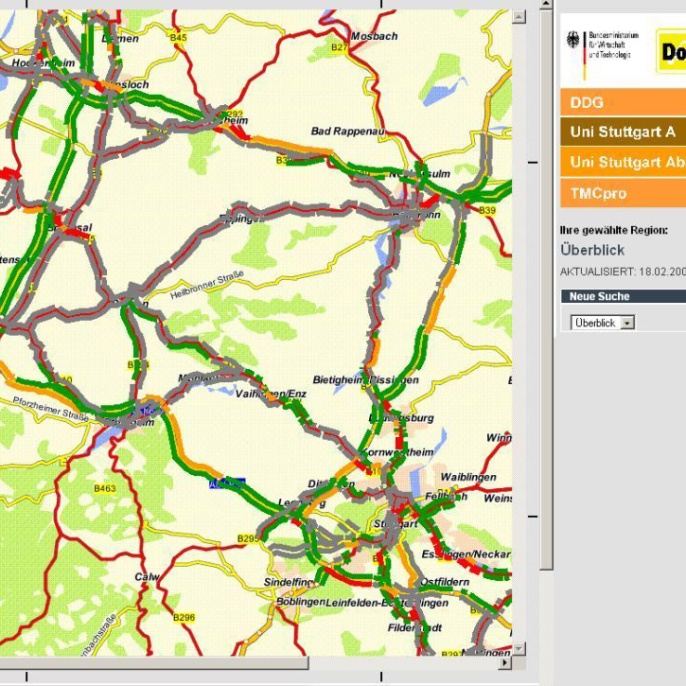
Furthermore, it coordinates the activities of the Center for Transportation Research (FOVUS). Here the work of the institute is focused on positioning (e.g. by means of mobile phones), digital road maps and map-matching algorithms.
Modeling of processes and their quality is seen as a cross-section theme, which means research is carried out into quality models, quality assurance and quality management.
Personal Information
Prof. Volker Schwieger was born in Springe near Hanover. He studied geodesy at the University of Hanover and obtained his doctorate in 1997 on the subject of GPS monitoring measurements at the Geodetic Institute of the University of Hanover. In 2000 and 2001 he worked at the German Research Centre for Geosciences Potsdam (GFZ), where he was responsible for determining satellite orbits. In 2002 he moved to the Institute for Applications of Geodesy to Engineering at the University of Stuttgart. He obtained his doctorate there in 2004 with a dissertation on the subject of modeling. He has been director of the institute since 2010, having since renamed it the Institute of Engineering Geodesy. He also coordinates international and national research groups on the subjects of GNSS, measuring systems and positioning. Since 2022, he has been an honorary member of the International Federation of Surveyors (FIG, Fédération Internationale des Géomètres).


